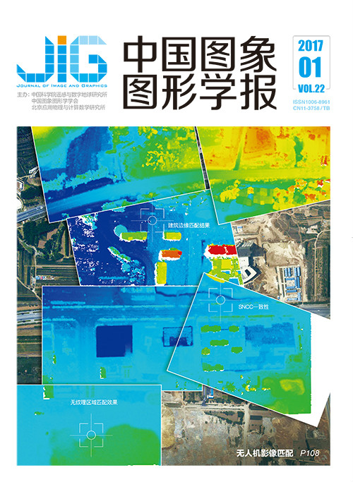
无人机影像物方多视匹配算法
于英1,2,3, 张永生1, 薛武1,2,3, 莫德林1,2,3(1.信息工程大学, 郑州 450001;2.地理信息工程国家重点实验室, 西安 710054;3.航空遥感技术国家测绘地理信息局重点实验室, 北京 100000) 摘 要
目的 像方无人机影像多视匹配方法忽视了影像之间的几何关系,而以MVLL(multi-view vertical line locus)为代表的物方多视匹配方法缺乏对地形之间相互约束的考虑。为此构建一种融合两类多视匹配方法优点的无人机影像物方多视匹配算法。方法 在MVLL匹配结构的基础上添加半全局匹配的相容性约束,不仅继承了原半全局算法对有弱纹理区域匹配效果好和物体边缘突出的优点,而且摆脱了需制作核线影像的繁琐过程;采用物方窗口SNCC(summed normalized cross correlation)一致性匹配测度计算方法,有效降低摄影角度和遮挡对匹配结果的影响;采用金字塔分层的策略以提高匹配的速度和可靠性。结果 选取自主研制的旋翼无人机三轴稳定平台获取了高分辨率无人机影像作为实验数据,从匹配效果、新匹配测度性能和匹配精度3个方面对算法进行了测试实验。本文算法整体匹配效果良好,物方窗口SNCC一致性匹配测度可有效消除匹配测度中的粗差,经过测定本文匹配算法生成的点云数据的高程精度为0.049 m,即约为1个GSD(ground space resolution)对应的地面大小。结论 本文算法充分利用了无人机影像的多视信息进行匹配计算,具有匹配效果好、鲁棒性强和匹配精度高的优势。
关键词
Unmanned aerial vehicle multi-view matching algorithm in object space
Yu Ying1,2,3, Zhang Yongsheng1, Xue Wu1,2,3, Mo Delin1,2,3(1.Information Engineering University, Zhengzhou 450001, China;2.State Key Laboratory of Geo-information Engineering, Xi'an 710054, China;3.The Key Laboratory for Aerial Remote Sensing National Administration of Surveying Mapping and Geoinformation, Beijing 100000, China) Abstract
Objective The unmanned aerial vehicle (UAV) multi-view matching method in image space ignores the geometric relationship among images. The multi-view matching method in object space represented by modified vertical line locus (MVLL) does not consider the mutual restraint of terrains. A multi-view matching algorithm that is based on the advantages of two multi-view matching methods is proposed in this study. Method An UAV multi-view matching algorithm in object space is presented by adding a semi-global matching compatibility constraint to the MVLL structure. This algorithm not only inherits the semi-global matching advantages of exhibiting good matching performance on weak texture areas and object boundaries but also prevents the tedious production of original semi-global matching algorithm-required rectified images. A summed normalized cross-correlation (SNCC) consensus cost function of object window is presented to reduce the effects of camera angles and occluded areas. The matching speed and reliability of the algorithm are improved by pyramiding strategies. Result In the experimental part, high-resolution images, which are obtained from an independently developed rotor UAV three-axis stabilized platform, are used to effectively test the matching results. The algorithm is tested from three aspects, namely, the matching effect, performance of the new matching measure, and matching precision. The experimental results show that this algorithm displays good matching effect. The matching measure of the SNCC of the object square window can effectively eliminate the gross error in the matching measure. The point cloud data generated by the proposed matching method in the elevation direction can reach 0.004 9 m which is equivalent to the size of 1 GSD(ground space resolution). Conclusion The method utilizes the multi-view information of a UAV image for matching calculation, and it demonstrates good matching effect, strong robustness, and high matching precision.
Keywords
unmanned aerial vehicle (UAV) images multi-view matching semi-global matching summed normalized cross-correlation (SNCC) consensus cost function
|


 中国图象图形学报 │ 京ICP备05080539号-4 │ 本系统由